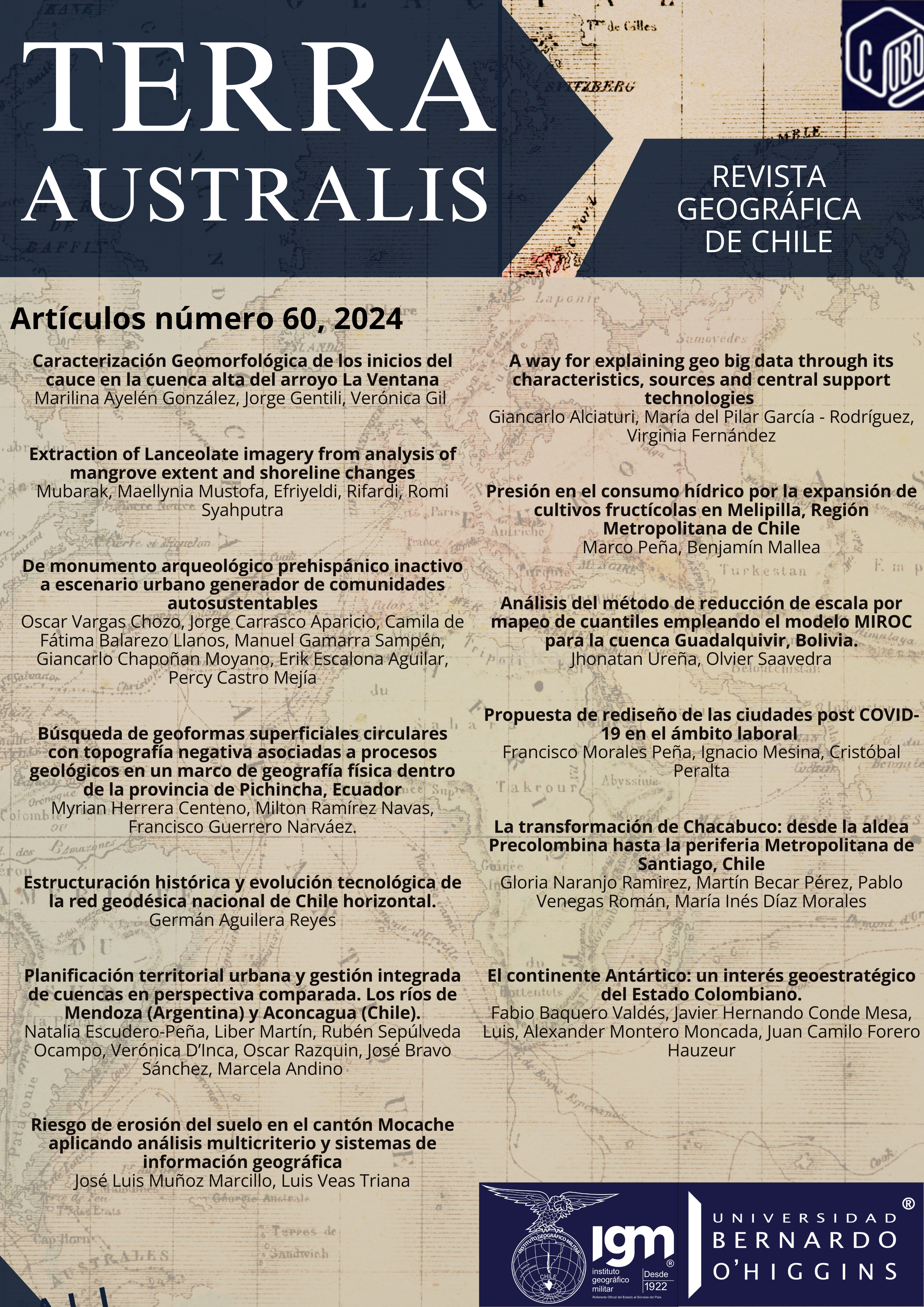
A way for explaining Geo Big Data through its characteristics, sources, and central support technologies
DOI:
https://doi.org/10.23854/07199562.2024601.alciaturiKeywords:
Geo Big Data, Geographic Information, GeographyAbstract
Big Data has significantly impacted scientific research and everyday life, resulting in solutions that align with its principles. Therefore, it is essential to propose ways that enable a basic understanding of specific fields of knowledge, such as those related to spatial domain information. Through a narrative review, this document explains the fundamentals of Geo Big Data by contextualising the characteristics, sources, and central technologies of Big Data in relation to geographic information. One of the most significant findings is that Geo Big Data helps enhance the understanding of biophysical and human dimensions of spatial matters. The technology boosts the acquisition of valuable insights and opportunities across various areas, including risk management, health, agriculture, environment, and open government. This document lays some groundwork for implementing Geo Big Data initiatives towards more specific efforts.
Downloads
References
Aguirre, M. G., Guerrero, N. S. T., & Guerrero, L. M. T. (2021). The influence of Airbnb on hotel occupancy in Mexico: a Big Data Analysis (2007-2018). Cimexus, 16(3), 9-32.
Airbnb. (2021). Inside Airbnb. http://insideairbnb.com/get-the-data.html. Accessed September 15, 2021.
Allen, C., Smith, M., Rabiee, M., & Dahmm, H. (2021). A review of scientific advancements in datasets derived from big data for monitoring the Sustainable Development Goals. Sustain Sci 16 (5), 1701-1716. DOI: 10.1007/s11625-021-00982-3.
Ardagna, D., Cappiello, C., Samá, W., & Vitali, M. (2018). Context-aware data quality assessment for big data. Future Generation Computer Systems, 89, 548-562.
BBVA. (2023). Monitoring The Economy in Real Time And High Definition, https://www.bbvaresearch.com/en/special-section/bigdata/ Accessed March 30, 2023.
Berrang-Ford, L., Sietsma, A., Callaghan, M., Minx, J., Scheelbeek, P., Haddaway, N., Haines, A., & Dangour, A. (2021). Systematic mapping of global research on climate and health: a machine learning review. The Lancet Planetary Health, 5 (8), 514–525. https://doi.org/10.1016/S2542-5196(21)00179-0.
Bhimala, K., Rakesh, V., & Prasad, K. (2020). Identification of vegetation responses to soil moisture, rainfall, and LULC over different meteorological subdivisions in India using remote sensing data. Theoretical and Applied Climatology, 142, 987–1001. https://doi.org/10.1007/s00704-020-03360-8.
Biao, L., Wang, J., Zhaorui., Jing, Z., Niu, H., & Yang, M. (2022) Agglomeration and migration of population in resource-based cities: evidence from DMSP/OLS and NPP/VIIRS nighttime lights, International Journal of Remote Sensing, DOI: 10.1080/01431161.2022.2152759.
Bloom, M. (2019). Environmental Epidemiology. Encyclopedia of Environmental Health (Second Edition), Elsevier, 419–427, https://doi.org/10.1016/B978-0-12-409548-9.10635-9.
Downloads
Published
How to Cite
Issue
Section
License
Copyright (c) 2024 Revista Geográfica de Chile Terra Australis

This work is licensed under a Creative Commons Attribution 4.0 International License.
Copyright notice:
Revista Geográfica de Chile Terra Australis retains the economic rights (copyright) of the works published in the Revista Geográfica de Chile Terra Australis. The reuse of the content is allowed under a license:
CC BY
Recognition

This license allows others to distribute, remix, tweak and build upon your work, even for commercial purposes, as long as you are acknowledged as the author of the original creation. This is the most helpful license offered. It is recommended for maximum dissemination and use of the materials subject to the license.


